
From early-stage Greenfields exploration to resource drilling, EFU oversees and manages exploration programs of any scale. Our team's deep geological expertise, insight, and experience enable us to deliver comprehensive solutions using proven exploration techniques. We take pride in adding value to every project while consistently adhering to project budgets and timelines.
Our field services encompass a range of geological, geochemical, and geophysical surveys that facilitate focused investigation and target validation. We employ standardized forms and rigorous QA/QC procedures during field data collection to ensure the delivery of consistent, accurate, high-quality data.
By integrating traditional hands-on exploration methods with innovative technologies, we aim to enhance project planning and execution ultimately leading to reduced exploration costs and expedited fieldwork.
PROJECT GENERATION & EXPLORATION MANAGEMENT
- Historical data analysis/assessment
- Target identification
- Strategic exploration planning and recommendations
- Project design and budgeting
- Project implementation
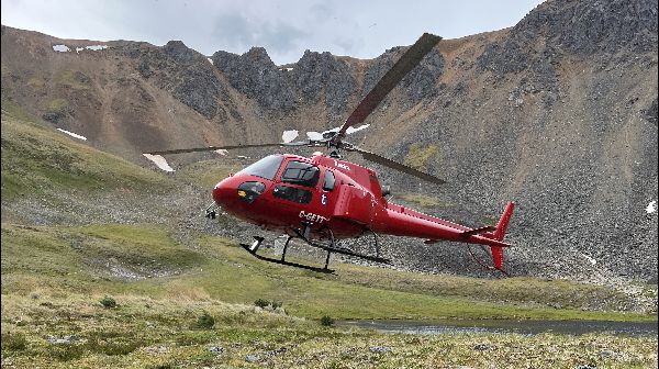
- Project Management
- Logistics
- Community engagement
- Tenure management
- Permit and license acquisition
- Data management
- Technical report writing (target book, press release, assessment report and NI 43-101 technical report)
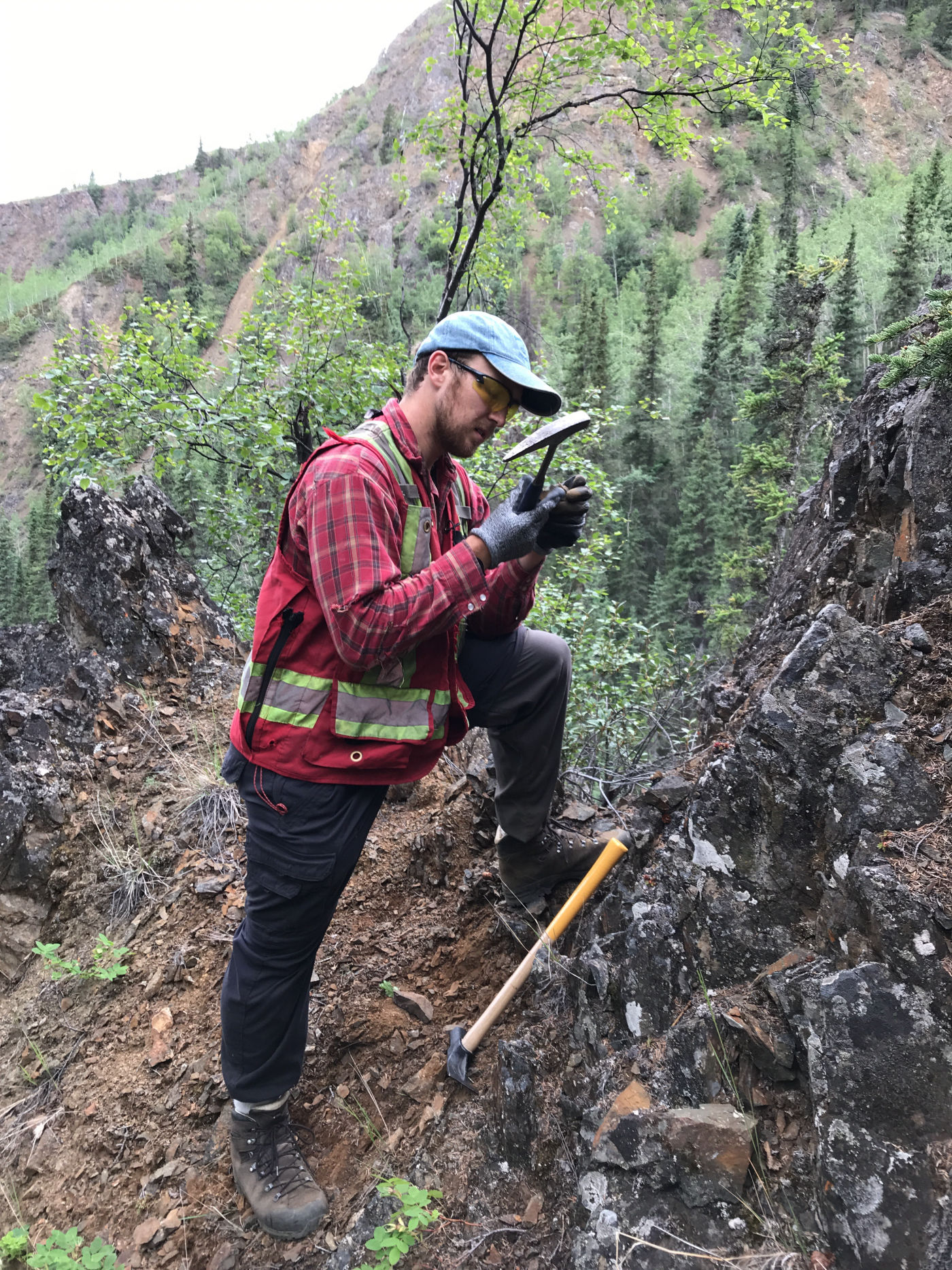
- Prospecting
- Geologic mapping
- Geochemical sampling (rock, soil, till)
- Drill program management (core logging, core teching, pad clearing, hole location marking)
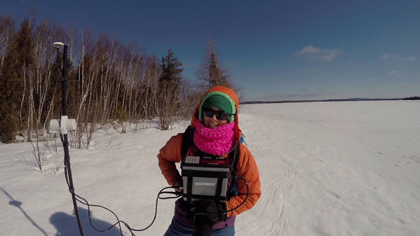
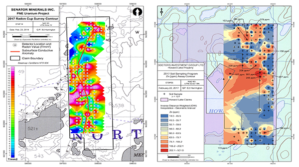
- Geophysical surveys (I.P., Overhauser Walking MAG, Beep Mat EM/MAG)
- Backpack diamond drilling
- Field data management
- Camp management
- Ground truthing
- Line marking and cutting
- Geological modelling and interpretation
- Drillhole map, plan and section plotting
- GIS for project planning
- Field program mapping
- Report mapping to gov't standards (asessment report, 43-101 technical report)
- GIS analysis
- Digitization of historical geographic or tabular data
- Geostatistics
- Satellite/aerial image acquisition